 Colorvia
REGIONAL MAP
United States
Record every one of the 56 states, d.c. & territories, one at a time.
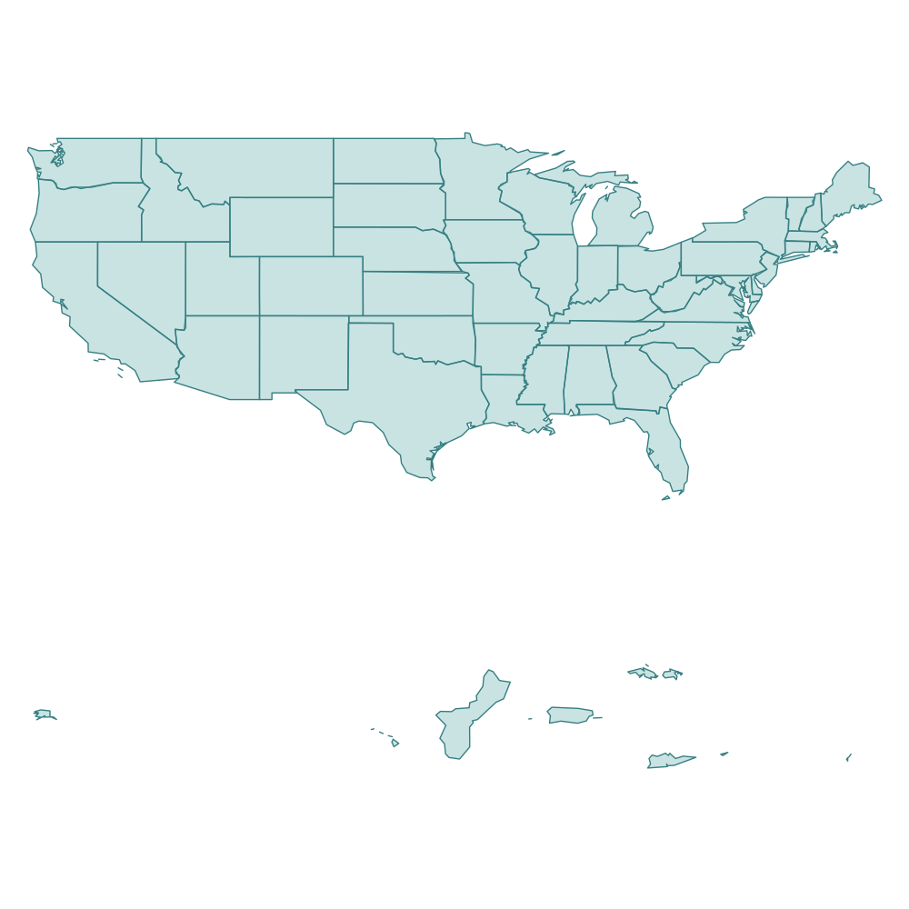
An illustration of states, d.c. & territories boundaries (not an in-app screenshot)
Fifty states plus D.C. and major territories—mainland trips and island journeys alike.
Sample units
- California
- New York
- Hawaii
- Texas
- Washington, D.C.
Maps and regional divisions in Colorvia are simplified for travel logging and do not express a political position.